Locations Covered
RYTHER ALARMS COVERAGE MAP
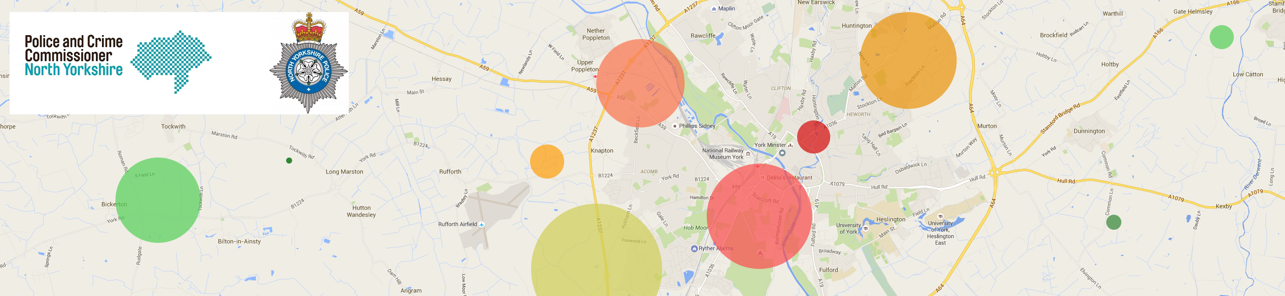
The map below shows our general coverage area. We do occasionally travel further afield. So if you have a project in mind that isn't within our general coverage area, give us a call anyway. The chances are we'll either be able to reach you or if not, point you in the direction of a local and reputable business that can.
A GUIDE OF COVERAGE LOCATIONS
Acaster Malbis, Acomb, Askham Bryan, Askham Richard, Bagby, Barlby, Bedale, Beningbrough, Bishopthorpe, Bootham, Cawood, Chapel Fields, Clifton, Clifton Moor, Copmanthorpe, Crockey Hill, Deighton, Dringhouses, Duggleby, Dunnington, Earswick, Easingwold, East Layton, Egton, Elvington, Filey, Fishergate, Flaxton, Fulford, Gate Helmsley, Great Ayton, Grimston, Groves, Hall Garth, Harrogate, Hawes, Haxby, Helmsley, Hemingbrough, Heslington, Hessay, Heworth, Holgate, Holtby, Huntington, Ingleton, Kellington, Kexby, Knapton, Knaresborough, Knavesmire, Layerthorpe, Lealholm, Leyburn, Malham, Malton, Middleham, Middlethorpe, Murton, Naburn, Nether Poppleton, New Earswick, Northallerton, Norton on Derwent, Nunthorpe, Osbaldwick, Overton, Pateley Bridge, Pickering, Ravenscar, Rawcliffe, Richmond, Ripon, Robin Hoods Bay, Rufforth, Sand Hutton, Scarborough, Selby, Settle, Shipton, Skelton, Skipton, South Bank, Staithes, Stockton on the Forest, Stokesley, Strensall, Tadcaster, Tadcaster, Tang Hall, Thirsk, Thorpe Willoughby, Tockwith, Towthorpe, Upper Helmsley, Upper Poppleton, Walmgate Stray, Warthill, West Field, Wetherby, Wheldrake, Whitby, Whitley, Wigginton, Woodthorpe, York, York City Centre
CRIME STATS BY POSTCODE